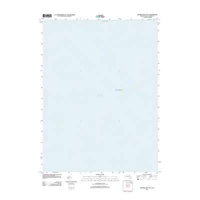
2012 Map of Squibnocket OE S
USGS Topo · Published 2012About this map
The vast reaches of the Atlantic Ocean south of Martha's Vineyard dominate this maritime survey, illustrating the underwater topography and hazards of the Massachusetts coast. The northern edge of the map reveals the southern tip of Nomans Land, an unpopulated island with a complex history as a former military bombing range and now a protected wildlife refuge. To the east, the sheet charts a portion of the Nantucket Shoals, a significant area of shallow water and shifting sands that has challenged navigators for centuries. This chart serves as a primary reference for the open sea and submerged features that define the approaches to the southern islands of Dukes County.
Find a feature on this map
3 named features on this map. Tap any name to fly to it.
Don’t see what you’re looking for? This feature index may not catch every label — zoom into the map to look around manually.
Map Details
Editions of this 2012 Squibnocket OE S Map
This is the sole edition of this map. No revisions or reprints were ever made.
Other maps of this area

1887 · Gay Head
USGS Topo · 1:62,500

1889 · Gay Head
USGS Topo · 1:62,500

1893 · Gay Head
USGS Topo · 1:62,500

1942 · Marthas Vineyard
USGS Topo · 1:125,000
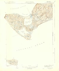
1944 · Squibnocket
USGS Topo · 1:31,680

1947 · Providence
USGS Topo · 1:250,000

1948 · Providence
USGS Topo · 1:250,000
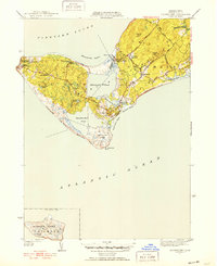
1951 · Squibnocket
USGS Topo · 1:31,680

1957 · Providence
USGS Topo · 1:250,000

1958 · Providence
USGS Topo · 1:250,000