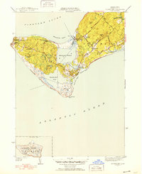
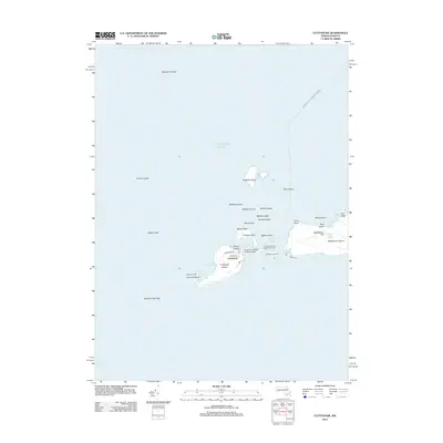
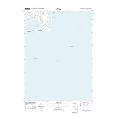
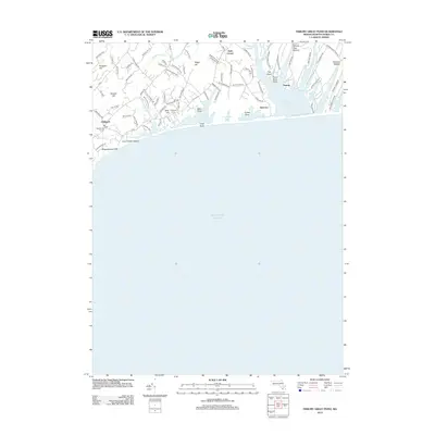
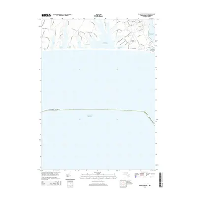
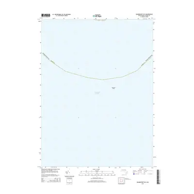
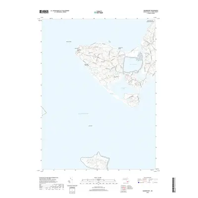
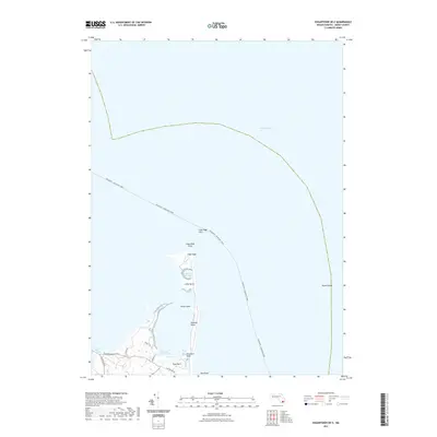
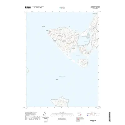
1951 Map of Squibnocket
USGS Topo · Published 1951About this map
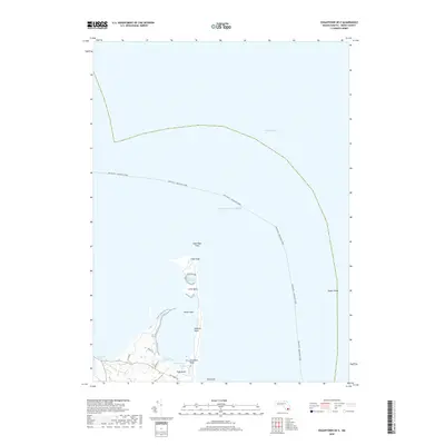
The southwest peninsula of Martha's Vineyard comes into sharp focus on this 1951 revision, highlighting the distinct coastline between Vineyard Sound and the Atlantic Ocean. The landscape is dominated by the dramatic Gay Head Cliffs and the maritime infrastructure of Gay Head Lighthouse and the Gay Head Coast Guard Station. Inland, the map reveals a mosaic of water bodies, including the expansive Menemsha Pond and Squibnocket Pond, separated by the narrow neck at Nashaquitsa.
Find a feature on this map
45 named features on this map. Tap any name to fly to it.
Don’t see what you’re looking for? This feature index may not catch every label — zoom into the map to look around manually.
Map Details
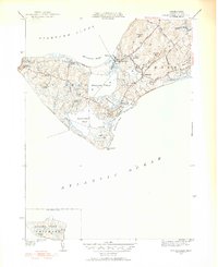
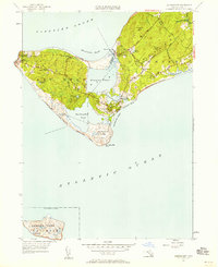
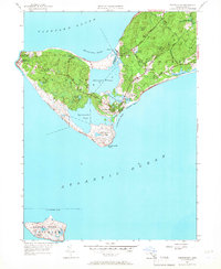
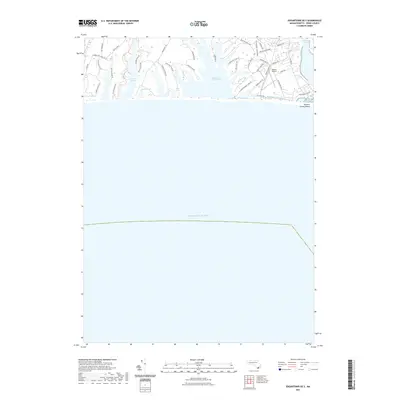
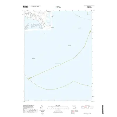
Editions of this 1951 Squibnocket Map
5 editions found
Historical Maps of Chilmark Through Time
75 maps found

1887 Gay Head
Dukes County, MA

1887 Marthas Vineyard
Dukes County, MA

1889 Gay Head
Dukes County, MA

1889 Marthas Vineyard
Dukes County, MA

1893 Gay Head
Dukes County, MA

1894 Marthas Vineyard
Dukes County, MA

1942 Marthas Vineyard
Dukes County, MA

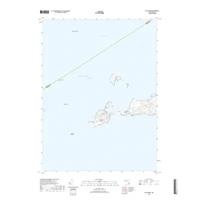
1944 Cuttyhunk
Dukes County, MA

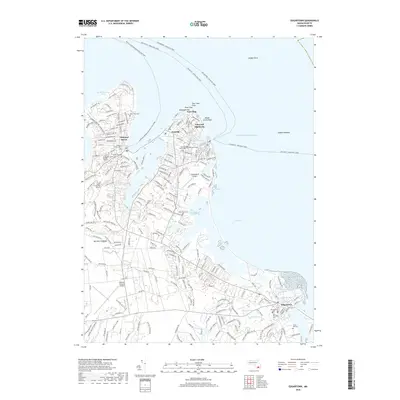
1944 Edgartown
Dukes County, MA

1944 Naushon Island
Dukes County, MA

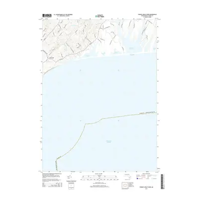
1944 Squibnocket
Dukes County, MA

1944 Tisbury Great Pond
Dukes County, MA

1949 Naushon Island
Dukes County, MA

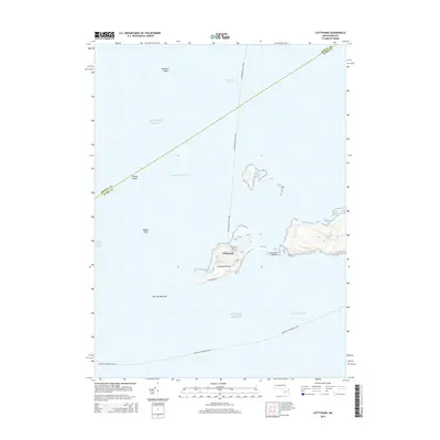
1951 Cuttyhunk
Dukes County, MA

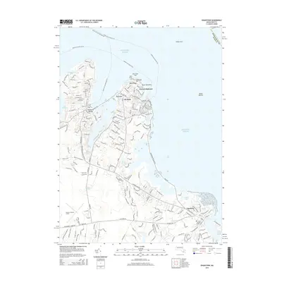
1951 Edgartown
Dukes County, MA

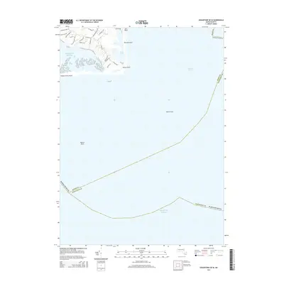
1951 Squibnocket
Dukes County, MA

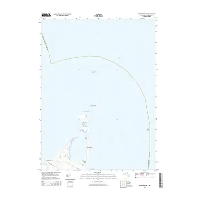
1951 Tisbury Great Pond
Dukes County, MA

1972 Cuttyhunk
Dukes County, MA

1972 Edgartown
Dukes County, MA

1972 Naushon Island
Dukes County, MA

1972 Squibnocket
Dukes County, MA

1972 Tisbury Great Pond
Dukes County, MA

1977 Cuttyhunk
Dukes County, MA

1977 Edgartown
Dukes County, MA

1977 Naushon Island
Dukes County, MA

1977 Squibnocket
Dukes County, MA

1977 Tisbury Great Pond
Dukes County, MA

1986 Martha's Vineyard
Dukes County, MA

1994 Martha's Vineyard
Dukes County, MA
2012 Cuttyhunk
Dukes County, MA
2012 Edgartown
Dukes County, MA
2012 Edgartown OE E
Dukes County, MA
2012 Edgartown OE S
Dukes County, MA
2012 Edgartown OE SE
Dukes County, MA
2012 Naushon Island
Dukes County, MA
2012 Squibnocket
Dukes County, MA
2012 Squibnocket OE S
Dukes County, MA
2012 Tisbury Great Pond
Dukes County, MA
2015 Cuttyhunk
Dukes County, MA
2015 Edgartown
Dukes County, MA
2015 Edgartown OE E
Dukes County, MA
2015 Edgartown OE S
Dukes County, MA
2015 Edgartown OE SE
Dukes County, MA
2015 Naushon Island
Dukes County, MA
2015 Squibnocket
Dukes County, MA
2015 Squibnocket OE S
Dukes County, MA
2015 Tisbury Great Pond
Dukes County, MA
2018 Cuttyhunk
Dukes County, MA
2018 Edgartown
Dukes County, MA
2018 Edgartown OE E
Dukes County, MA
2018 Edgartown OE S
Dukes County, MA
2018 Edgartown OE SE
Dukes County, MA
2018 Naushon Island
Dukes County, MA
2018 Squibnocket
Dukes County, MA
2018 Squibnocket OE S
Dukes County, MA
2018 Tisbury Great Pond
Dukes County, MA
2021 Cuttyhunk
Dukes County, MA

2021 Edgartown
Dukes County, MA
2021 Edgartown OE E
Dukes County, MA
2021 Edgartown OE S
Dukes County, MA
2021 Edgartown OE SE
Dukes County, MA
2021 Naushon Island
Dukes County, MA
2021 Squibnocket
Dukes County, MA
2021 Squibnocket OE S
Dukes County, MA
2021 Tisbury Great Pond
Dukes County, MA

2023 Edgartown
Dukes County, MA

2024 Cuttyhunk
Dukes County, MA

2024 Edgartown
Dukes County, MA

2024 Edgartown OE E
Dukes County, MA

2024 Edgartown OE S
Dukes County, MA

2024 Edgartown OE SE
Dukes County, MA

2024 Naushon Island
Dukes County, MA

2024 Squibnocket
Dukes County, MA

2024 Squibnocket OE S
Dukes County, MA

2024 Tisbury Great Pond
Dukes County, MA