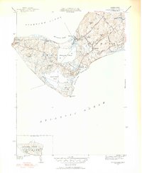
1951 Map of Squibnocket
USGS Topo · Published 1952About this map
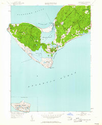
The western reaches of Martha's Vineyard are captured here in a 1951 revision of the 1942 survey, highlighting the distinct landscape of Gay Head and Chilmark. At the island's western tip, the Gay Head Lighthouse and Gay Head Coast Guard Station overlook the entrance to Vineyard Sound, anchored by the dramatic Zacks Cliffs. The interior of the island is dominated by a chain of large coastal lagoons including Menemsha Pond and Squibnocket Pond, separated from the Atlantic Ocean by narrow barriers like Long Beach.
Find a feature on this map
44 named features on this map. Tap any name to fly to it.
Don’t see what you’re looking for? This feature index may not catch every label — zoom into the map to look around manually.
Map Details
Editions of this 1951 Squibnocket Map
5 editions found
Other maps of this area

1887 · Gay Head
USGS Topo · 1:62,500

1889 · Gay Head
USGS Topo · 1:62,500

1893 · Gay Head
USGS Topo · 1:62,500

1942 · Marthas Vineyard
USGS Topo · 1:125,000

1944 · Tisbury Great Pond
USGS Topo · 1:31,680

1944 · Vineyard Haven
USGS Topo · 1:31,680
1944 · Naushon Island
USGS Topo · 1:31,680
1944 · Squibnocket
USGS Topo · 1:31,680
1944 · Cuttyhunk
USGS Topo · 1:31,680

1947 · Providence
USGS Topo · 1:250,000