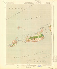
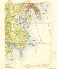
1944 Map of Cuttyhunk
USGS Topo · Published 1944About this map
Cuttyhunk Island and its neighbors in the Elizabeth Islands appear here as surveyed in the early 1940s, situated between the waters of Buzzards Bay and Vineyard Sound. This maritime landscape is defined by the small settlement of Cuttyhunk and vital navigational landmarks including the Cuttyhunk Lighthouse and a Coast Guard Station at Canapitsit Channel.
Find a feature on this map
31 named features on this map. Tap any name to fly to it.
Don’t see what you’re looking for? This feature index may not catch every label — zoom into the map to look around manually.
Map Details
Editions of this 1944 Cuttyhunk Map
2 editions found
Other maps of this area

1885 · New Bedford
USGS Topo · 1:62,500

1887 · Gay Head
USGS Topo · 1:62,500

1888 · New Bedford
USGS Topo · 1:62,500

1889 · Gay Head
USGS Topo · 1:62,500

1893 · Gay Head
USGS Topo · 1:62,500

1893 · New Bedford
USGS Topo · 1:62,500

1918 · New Bedford
USGS Topo · 1:62,500
1936 · South Dartmouth
USGS Topo · 1:24,000
1940 · Sconticut Neck
USGS Topo · 1:31,680
1941 · New Bedford South
USGS Topo · 1:31,680