
1944 Map of Tisbury Great Pond
USGS Topo · Published 1944About this map
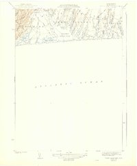
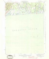
The south shore of Martha’s Vineyard in the early 1940s is defined by its complex system of coastal ponds and finger-like coves. Tisbury Great Pond dominates the center of this 1942 survey, showing the intricate network of inlets such as Deep Bottom Cove, Tiah Cove, and Middle Point Cove. The landscape transitions from the higher ground of Ridge Hill in the west down toward the flat, low-lying coastal plains of Scrubby Neck. Small settlements and named locales like Quansoo, Tississa, and Nabs Corner are linked by a network of historic thoroughfares including Kings Highway, South Road, and Middle Road. This mapping captures the island's rural character before extensive modern development, documenting the numerous smaller water bodies like Homer Pond, Oyster Pond, and Paqua Pond that line the Atlantic Ocean frontage.
Find a feature on this map
41 named features on this map. Tap any name to fly to it.
Don’t see what you’re looking for? This feature index may not catch every label — zoom into the map to look around manually.
Map Details
Editions of this 1944 Tisbury Great Pond Map
3 editions found
Other maps of this area

1887 · Gay Head
USGS Topo · 1:62,500

1887 · Marthas Vineyard
USGS Topo · 1:62,500

1889 · Gay Head
USGS Topo · 1:62,500

1889 · Marthas Vineyard
USGS Topo · 1:62,500

1893 · Gay Head
USGS Topo · 1:62,500

1894 · Marthas Vineyard
USGS Topo · 1:62,500

1942 · Marthas Vineyard
USGS Topo · 1:125,000

1944 · Vineyard Haven
USGS Topo · 1:31,680
1944 · Edgartown
USGS Topo · 1:31,680
1944 · Naushon Island
USGS Topo · 1:31,680