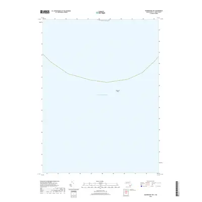
2018 Map of Squibnocket OE S
USGS Topo · Published 2018About this map
The Atlantic Ocean dominates this maritime survey off the southern coast of Martha's Vineyard. This area is defined by the submerged hazards of Nantucket Shoals, a complex system of shifting sandbars and shallow waters that have influenced navigation in these coastal reaches for centuries. The map focus is almost entirely offshore, providing a look at the bathymetry and sea conditions south of the island in Dukes County. This specific perspective highlights the isolation of the shoals as they extend into the open sea, away from the settled harbors of the mainland and islands. The minimal terrestrial features reflect the nautical nature of this quadrangle, serving as a specialized record of the underwater topography in this part of the Massachusetts shoreline.
Find a feature on this map
2 named features on this map. Tap any name to fly to it.
Don’t see what you’re looking for? This feature index may not catch every label — zoom into the map to look around manually.
Map Details
Editions of this 2018 Squibnocket OE S Map
This is the sole edition of this map. No revisions or reprints were ever made.
Other maps of this area
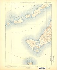
1887 · Gay Head
USGS Topo · 1:62,500
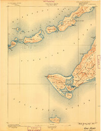
1889 · Gay Head
USGS Topo · 1:62,500
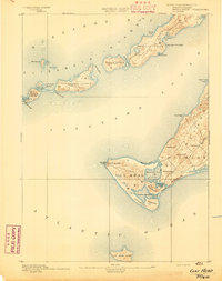
1893 · Gay Head
USGS Topo · 1:62,500
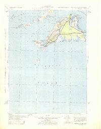
1942 · Marthas Vineyard
USGS Topo · 1:125,000
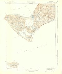
1944 · Squibnocket
USGS Topo · 1:31,680
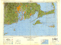
1947 · Providence
USGS Topo · 1:250,000
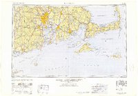
1948 · Providence
USGS Topo · 1:250,000
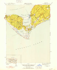
1951 · Squibnocket
USGS Topo · 1:31,680
1957 · Providence
USGS Topo · 1:250,000
1958 · Providence
USGS Topo · 1:250,000