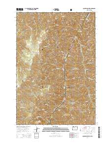
2014 Map of Squirrel Prairie
USGS Topo · Published 2014About this map
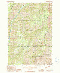
The Snake River carves a deep path through the heart of Hells Canyon, serving as the natural boundary between Oregon and Idaho. This terrain is defined by dramatic elevation changes, where river-level features like Rock Bar, Chimney Bar, and Two Bars sit thousands of feet below peaks such as Black Mtn, Lookout Mtn, and Cliff Mtn. The landscape is part of a complex of protected lands, including the Wallowa National Forest, Nez Perce National Forest, and Payette National Forest. Numerous rapids, including Granite Rapids and Hells Canyon Rapids, mark the river's course, illustrating the navigational challenges of this corridor. Scattered springs such as Coyote Spring and Jensen Spring provide vital water sources amidst the high ridges of Summit Ridge and Long Ridge, while the high plateau of Squirrel Prairie offers one of the few relatively level expanses in this vertical environment.
Find a feature on this map
58 named features on this map. Tap any name to fly to it.
Don’t see what you’re looking for? This feature index may not catch every label — zoom into the map to look around manually.
Map Details
Editions of this 2014 Squirrel Prairie Map
This is the sole edition of this map. No revisions or reprints were ever made.
Other maps of this area
1920 · Seven Devils Mining District
USGS Topo · 1:48,000
1922 · He Devil
USGS Topo · 1:48,000
1954 · Harl Butte
USGS Topo · 1:62,500

1955 · Grangeville
USGS Topo · 1:250,000
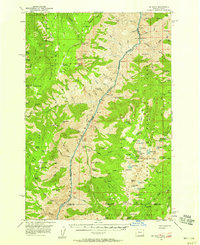
1957 · He Devil
USGS Topo · 1:62,500
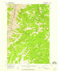
1957 · Cuprum
USGS Topo · 1:62,500
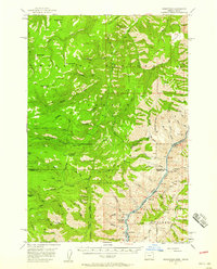
1957 · Homestead
USGS Topo · 1:62,500

1959 · Grangeville
USGS Topo · 1:250,000
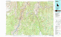
1987 · Riggins
USGS Topo · 1:100,000
1990 · Puderbaugh Ridge
USGS Topo · 1:24,000