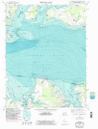
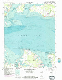
1968 Map of St. Clements Island
USGS Topo · Published 1997About this map
The Potomac River forms a wide aquatic boundary between the shores of St Marys County, Maryland, and Westmoreland County, Virginia, in this late 1960s topographic and bathymetric study. The map centers on the historical St Clements Island, home to St Clements State Park, sitting amidst the shifting sands of Heron Island Bar. The Maryland shoreline is defined by the prominent peninsulas of Newtown Neck and Medleys Neck, which separate the waters of St Clements Bay and Breton Bay. On the Virginia side, the landscape is shaped by the complex inlets of Nomini Bay and Lower Machodoc Creek. The settlement patterns reflect a maritime economy, from the docks at Coltons Point to the residential developments at Glebe Harbor and Coles Point. Genealogists may find interest in Coles Point Cem and the small coastal airstrip at Hampton Airport.
Find a feature on this map
60 named features on this map. Tap any name to fly to it.
Don’t see what you’re looking for? This feature index may not catch every label — zoom into the map to look around manually.
Map Details
Editions of this 1968 St. Clements Island Map
5 editions found
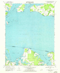
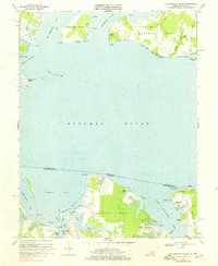
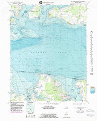
Other maps of this area

1892 · Leonardtown
USGS Topo · 1:62,500

1892 · Piney Point
USGS Topo · 1:62,500

1892 · Montross
USGS Topo · 1:62,500

1894 · Wicomico
USGS Topo · 1:62,500

1894 · Piney Point
USGS Topo · 1:62,500

1895 · Wicomico
USGS Topo · 1:62,500

1895 · Leonardtown
USGS Topo · 1:62,500

1895 · Nomini
USGS Topo · 1:125,000

1895 · Piney Point
USGS Topo · 1:62,500

1895 · Montross
USGS Topo · 1:62,500