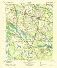
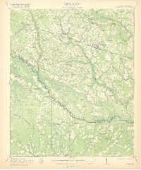
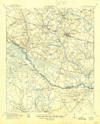
1921 Map of St. George
USGS Topo · Published 1921About this map
The Edisto River meanders through this 1921 landscape, serving as a natural boundary between Dorchester and Colleton counties. The region is defined by a dense network of early 20th-century rural infrastructure, particularly evident in the concentration of community hubs like the Indian Field Campgrounds and the numerous small schools and churches that served the agricultural population. The Southern Railway corridor anchors the northern portion of the map, passing through St George and Reevesville, where timber and agricultural products likely moved by rail. Extensive wetlands and swamp systems, including Indian Field Swamp and Texas Swamp, illustrate the challenging terrain that necessitated early crossings like Raysor Bridge and Stokes Bridge. This map provides a detailed view of a South Carolina community during an era when local schools like the Heaton School and Byrd School were the centers of rural life.
Find a feature on this map
71 named features on this map. Tap any name to fly to it.
Don’t see what you’re looking for? This feature index may not catch every label — zoom into the map to look around manually.
Map Details
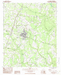
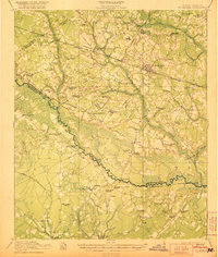
Editions of this 1921 St. George Map
4 editions found
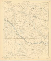
Historical Maps of Reevesville Through Time
4 maps found