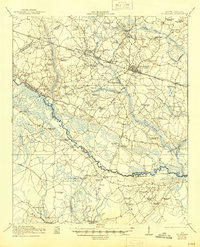
1921 Map of St. George
USGS Topo · Published 1945About this map
The Edisto River carves a winding path through the Lowcountry on this survey, serving as the boundary between Dorchester and Colleton Counties. At the intersection of the Southern Railway and the Charleston and Augusta Road, the town of St. George stands as a primary hub for the surrounding agricultural and timber lands. The map reveals a landscape heavily dotted with rural schools and houses of worship, reflecting the deep-rooted community structures of the early 20th century.
Find a feature on this map
68 named features on this map. Tap any name to fly to it.
Don’t see what you’re looking for? This feature index may not catch every label — zoom into the map to look around manually.
Map Details
Editions of this 1921 St. George Map
4 editions found

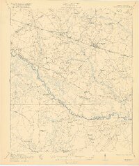
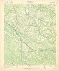
Other maps of this area

1918 · Walterboro
USGS Topo · 1:62,500

1918 · Cottageville
USGS Topo · 1:62,500

1919 · Ridgeville
USGS Topo · 1:48,000

1919 · Cummings
USGS Topo · 1:62,500

1919 · Lodge
USGS Topo · 1:62,500

1920 · Eutawville
USGS Topo · 1:48,000

1920 · Bowman
USGS Topo · 1:48,000

1920 · Lodge
USGS Topo · 1:48,000

1920 · Ridgeville
USGS Topo · 1:62,500

1920 · Orangeburg
USGS Topo · 1:48,000