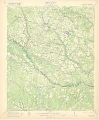
1921 Map of St George
USGS Topo · Published 1921About this map
The Edisto River snakes along the boundary between Dorchester and Colleton counties, anchoring a landscape defined by its blackwater swamps and rural parish outposts. In this early 1920s survey, the Southern railroad corridor serves as the primary artery for commerce, linking settlements like St George, Reevesville, and the timber-focused hamlet of Badham. Away from the tracks, the area is meticulously dotted with community hubs, including the Indian Field Campgrounds and dozens of rural institutions such as Turkey Pond School and Jericho Church. The map captures the intricate drainage system of the Lowcountry, where the Indian Field Swamp and Polk Branch feed into the river system. Researchers will find a high density of named schools and churches, reflecting the distributed settlement patterns of a region still deeply tied to its agricultural and lumbering roots before modern highway expansion.
Find a feature on this map
66 named features on this map. Tap any name to fly to it.
Don’t see what you’re looking for? This feature index may not catch every label — zoom into the map to look around manually.
Map Details
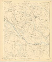
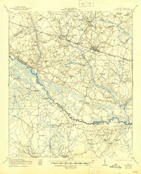
Editions of this 1921 St George Map
4 editions found

Other maps of this area

1918 · Walterboro
USGS Topo · 1:62,500

1918 · Cottageville
USGS Topo · 1:62,500

1919 · Ridgeville
USGS Topo · 1:48,000

1919 · Cummings
USGS Topo · 1:62,500

1919 · Lodge
USGS Topo · 1:62,500

1920 · Eutawville
USGS Topo · 1:48,000

1920 · Bowman
USGS Topo · 1:48,000

1920 · Lodge
USGS Topo · 1:48,000

1920 · Ridgeville
USGS Topo · 1:62,500

1920 · Orangeburg
USGS Topo · 1:48,000