Loading...
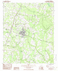
Loading map...1982 Map of St. George
USGS Topo · Published 1983About this map
Indian Field Campground serves as a cultural anchor in this corner of the South Carolina lowcountry, situated north of the busy crossroads at St George. The landscape is defined by the slow-moving waters of Indian Field Swamp and Polk Swamp, which carve through the timbered terrain. This era of the early 1980s shows the Southern railroad line cutting diagonally through the county seat, reinforcing the town's historical identity as a rail hub.
Find a feature on this map
36 named features on this map. Tap any name to fly to it.
Don’t see what you’re looking for? This feature index may not catch every label — zoom into the map to look around manually.
Map Details
Date Portrayed1982
Date Published1983
PublisherU.S. Geological Survey
Map TypeTopographic
Scale1:24,000
Physical Dimensions22 x 26.7 inches
Editions of this 1982 St. George Map
This is the sole edition of this map. No revisions or reprints were ever made.
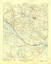
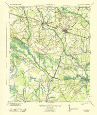
Historical Maps of Hudsontown Through Time
4 maps found

Featured Locations
Source Details
SourceU.S. Geological Survey
CopyrightPublic Domain