
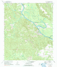
1972 Map of St. Stephens
USGS Topo · Published 1975About this map
Saint Stephens and the winding Tombigbee River define this landscape along the border of Washington and Clarke counties. The river's history of navigation is visible through engineering features like Old Lock No 1 and the Old Lock One Cut-Off, while industry is represented by several quarries and a Conveyor near the riverbank. This 1970s survey captures the area's rural character, dominated by timbered lowlands and complex drainage systems like the Wilderness Swamp.
Find a feature on this map
39 named features on this map. Tap any name to fly to it.
Don’t see what you’re looking for? This feature index may not catch every label — zoom into the map to look around manually.
Map Details
Editions of this 1972 St. Stephens Map
2 editions found
Other maps of this area

1943 · Choctaw Bluff
USGS Topo · 1:62,500

1943 · McIntosh
USGS Topo · 1:62,500

1944 · McIntosh
USGS Topo · 1:62,500

1946 · Choctaw Bluff
USGS Topo · 1:62,500

1953 · Andalusia
USGS Topo · 1:250,000

1953 · Hattiesburg
USGS Topo · 1:250,000

1957 · Andalusia
USGS Topo · 1:250,000

1958 · Hattiesburg
USGS Topo · 1:250,000

1971 · Bigbee
USGS Topo · 1:24,000

1971 · Bladon Springs
USGS Topo · 1:24,000