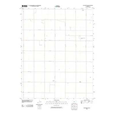
2009 Map of Stafford NW
USGS Topo · Published 2009About this map
Verning Cemetery and Prairie Chapel Cemetery lie among the precisely gridded section lines of Stafford County, documenting the enduring footprint of rural communities in central Kansas. This landscape is defined by its agricultural order, where the intersection of US Hwy 50 and US Hwy 281 creates a primary transport axis through the plains. The presence of Leesburg Cemetery along the southern range lines hints at earlier settlement patterns now largely integrated into the surrounding farmsteads.
Find a feature on this map
25 named features on this map. Tap any name to fly to it.
Don’t see what you’re looking for? This feature index may not catch every label — zoom into the map to look around manually.
Map Details
Editions of this 2009 Stafford NW Map
This is the sole edition of this map. No revisions or reprints were ever made.
Other maps of this area

1891 · Great Bend
USGS Topo · 1:125,000

1892 · Pratt
USGS Topo · 1:125,000

1893 · Great Bend
USGS Topo · 1:125,000

1894 · Pratt
USGS Topo · 1:125,000

1955 · Great Bend
USGS Topo · 1:250,000

1955 · Pratt
USGS Topo · 1:250,000

1957 · Great Bend
USGS Topo · 1:250,000

1958 · Great Bend
USGS Topo · 1:250,000

1959 · Pratt
USGS Topo · 1:250,000
1971 · Hudson SE
USGS Topo · 1:24,000