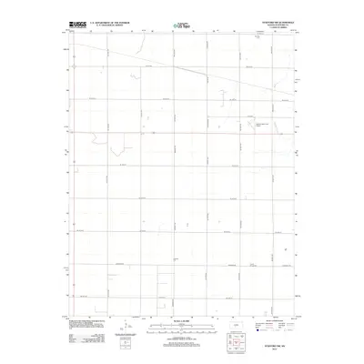
2012 Map of Stafford NW
USGS Topo · Published 2012About this map
Verning Cem and Leesburg Cem anchor this Stafford County landscape, reflecting the rural settlement patterns and family lineages of the central Kansas prairie. The map captures a largely agricultural expanse organized by a precise section-line grid, including prominent thoroughfares like Old 50 Rd and Leesburg Rd. While the terrain is dominated by farm tracts, the northeast corner is marked by the winding courses of Peace Cr and Dooleyville Cr, which provide natural relief to the geometric road network. Near the eastern edge, the Stafford Municipal Airport represents the modern transportation infrastructure serving the regional hub, while the Prairie Chapel Cem remains a quiet landmark of the area's spiritual and community history.
Find a feature on this map
26 named features on this map. Tap any name to fly to it.
Don’t see what you’re looking for? This feature index may not catch every label — zoom into the map to look around manually.
Map Details
Editions of this 2012 Stafford NW Map
This is the sole edition of this map. No revisions or reprints were ever made.
Other maps of this area

1891 · Great Bend
USGS Topo · 1:125,000

1892 · Pratt
USGS Topo · 1:125,000

1893 · Great Bend
USGS Topo · 1:125,000

1894 · Pratt
USGS Topo · 1:125,000

1955 · Great Bend
USGS Topo · 1:250,000

1955 · Pratt
USGS Topo · 1:250,000

1957 · Great Bend
USGS Topo · 1:250,000

1958 · Great Bend
USGS Topo · 1:250,000

1959 · Pratt
USGS Topo · 1:250,000
1971 · Hudson SE
USGS Topo · 1:24,000