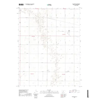
2018 Map of Stafford NW
USGS Topo · Published 2018About this map
St. John anchors the northwestern corner of this Kansas landscape, where the township grid meets the undulating terrain of the Great Bend Prairie. The map reveals a land defined by its agricultural legacy and small community hubs, featuring several historic burial grounds including Leesburg Cem, Prairie Chapel Cem, and Verning Cem. These sites, often located near section corners or along routes like Leesburg Rd, serve as focal points for local family history and genealogical research.
Find a feature on this map
36 named features on this map. Tap any name to fly to it.
Don’t see what you’re looking for? This feature index may not catch every label — zoom into the map to look around manually.
Map Details
Editions of this 2018 Stafford NW Map
This is the sole edition of this map. No revisions or reprints were ever made.
Other maps of this area

1891 · Great Bend
USGS Topo · 1:125,000

1892 · Pratt
USGS Topo · 1:125,000

1893 · Great Bend
USGS Topo · 1:125,000

1894 · Pratt
USGS Topo · 1:125,000

1955 · Great Bend
USGS Topo · 1:250,000

1955 · Pratt
USGS Topo · 1:250,000

1957 · Great Bend
USGS Topo · 1:250,000

1958 · Great Bend
USGS Topo · 1:250,000

1959 · Pratt
USGS Topo · 1:250,000
1971 · Hudson SE
USGS Topo · 1:24,000