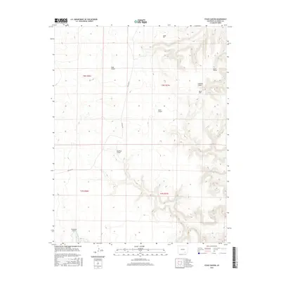
2016 Map of Stage Canyon
USGS Topo · Published 2016About this map
Stage Canyon and its complex network of seasonal drainage ways define this part of Las Animas County during the mid-2010s. The landscape is characterized by a series of dramatic landforms, from the elevated Cedar Hill in the north to the Black Hills further east. Water sources appear as vital but isolated points in the arid environment, notably at Sugarloaf Spring near the head of Sugarloaf Canyon. Transport across this remote terrain is anchored by Red Rock Rd, which snakes between high mesas and through Red Rock Canyon. The presence of several named branch canyons, including Welsh Canyon and Horse Canyon, suggests a highly dissected topography where historical navigation followed the natural contours of the arroyos. In the southern portion of the sheet, Lockwood Canyon and the Lockwood Arroyo further illustrate the intricate drainage patterns that have shaped land use and movement in this region of Colorado.
Find a feature on this map
15 named features on this map. Tap any name to fly to it.
Don’t see what you’re looking for? This feature index may not catch every label — zoom into the map to look around manually.
Map Details
Editions of this 2016 Stage Canyon Map
This is the sole edition of this map. No revisions or reprints were ever made.
Other maps of this area

1891 · Timpas
USGS Topo · 1:125,000

1891 · Mesa De Maya
USGS Topo · 1:125,000

1893 · Mesa de Maya
USGS Topo · 1:125,000

1894 · Timpas
USGS Topo · 1:125,000

1955 · La Junta
USGS Topo · 1:250,000

1958 · La Junta
USGS Topo · 1:250,000

1968 · La Junta
USGS Topo · 1:250,000

1972 · Johnson Canyon
USGS Topo · 1:24,000

1972 · Doss Canyon North
USGS Topo · 1:24,000

1972 · Packers Gap
USGS Topo · 1:24,000