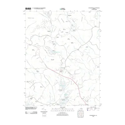
2010 Map of Stanardsville
USGS Topo · Published 2010About this map
Stanardsville serves as the focal point for this Greene County landscape, situated where the South River and Blue Run drain the foothills of the Blue Ridge. The 2010 geography reveals a mix of historic rural settlements like Kinderhook, Lydia, and Quinque alongside modern developments. Significant water management features are evident through numerous small reservoirs such as Green Mountain Lake, Lake Skyline, and Lake Shenandoah, which are held by structures like the Twin Lakes Dam Number One.
Find a feature on this map
105 named features on this map. Tap any name to fly to it.
Don’t see what you’re looking for? This feature index may not catch every label — zoom into the map to look around manually.
Map Details
Editions of this 2010 Stanardsville Map
This is the sole edition of this map. No revisions or reprints were ever made.
Other maps of this area

1892 · Gordonsville
USGS Topo · 1:125,000

1892 · Harrisonburg
USGS Topo · 1:125,000

1930 · Madison
USGS Topo · 1:48,000

1931 · University
USGS Topo · 1:62,500

1933 · Madison
USGS Topo · 1:62,500

1935 · Charlottesville
USGS Topo · 1:62,500

1935 · University
USGS Topo · 1:62,500

1937 · Elkton
USGS Topo · 1:62,500

1939 · Charlottesville
USGS Topo · 1:62,500

1949 · Charlottesville
USGS Topo · 1:250,000