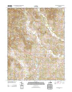
2013 Map of Stanardsville
USGS Topo · Published 2013About this map
Stanardsville serves as the central hub of this Piedmont landscape, situated where the rolling lowlands meet the rising slopes of the Blue Ridge foothills. The settlement pattern is defined by family-named heights such as Jarrell Mountain, Goodall Mountain, and Teel Mountain, which overlook a network of watercourses including the Conway River and the Rapidan River. In the early 21st century, the area shows significant water management and recreation footprints, evidenced by Greene Development Lake, Lake Skyline, and Lake Shenandoah. Residential clusters and small crossroads like Kinderhook, McMullen, and Quinque are connected by a dense web of local roads such as Kinderhook Rd and Pocosan Mountain Rd. These names reflect the deep agricultural and topographic history of Greene County, while protected spaces like Octonia Park highlight the preservation of the region's natural character amidst modern development.
Find a feature on this map
186 named features on this map. Tap any name to fly to it.
Don’t see what you’re looking for? This feature index may not catch every label — zoom into the map to look around manually.
Map Details
Editions of this 2013 Stanardsville Map
This is the sole edition of this map. No revisions or reprints were ever made.
Other maps of this area

1892 · Gordonsville
USGS Topo · 1:125,000

1892 · Harrisonburg
USGS Topo · 1:125,000

1930 · Madison
USGS Topo · 1:48,000

1931 · University
USGS Topo · 1:62,500

1933 · Madison
USGS Topo · 1:62,500

1935 · Charlottesville
USGS Topo · 1:62,500

1935 · University
USGS Topo · 1:62,500

1937 · Elkton
USGS Topo · 1:62,500

1939 · Charlottesville
USGS Topo · 1:62,500

1949 · Charlottesville
USGS Topo · 1:250,000