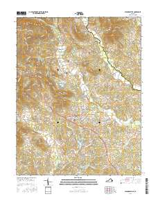
2016 Map of Stanardsville
USGS Topo · Published 2016About this map
The town of Stanardsville serves as the central hub of this Piedmont landscape, situated just east of the blue-ridge peaks protected within Shenandoah National Park. The terrain is defined by a series of prominent elevations, including Saddleback Mtn, Powell Mtn, and Runkle Mtn, which give way to the fertile drainage basins of Swift Run and the S River. Several smaller communities like McMullen, Lydia, and Kinderhook are interspersed among family landmarks and small-scale reservoirs such as Greene Hills Lake and Lake Skyline. Local history is anchored by numerous burial grounds including McMullen Cem, Shelton Cem, and the Stanardsville Public Cemetery. The mapping of these small cemeteries and named peaks reflects a landscape where traditional Appalachian foothills life persists alongside modern conservation boundaries and residential development lakes.
Find a feature on this map
159 named features on this map. Tap any name to fly to it.
Don’t see what you’re looking for? This feature index may not catch every label — zoom into the map to look around manually.
Map Details
Editions of this 2016 Stanardsville Map
This is the sole edition of this map. No revisions or reprints were ever made.
Other maps of this area

1892 · Gordonsville
USGS Topo · 1:125,000

1892 · Harrisonburg
USGS Topo · 1:125,000

1930 · Madison
USGS Topo · 1:48,000

1931 · University
USGS Topo · 1:62,500

1933 · Madison
USGS Topo · 1:62,500

1935 · Charlottesville
USGS Topo · 1:62,500

1935 · University
USGS Topo · 1:62,500

1937 · Elkton
USGS Topo · 1:62,500

1939 · Charlottesville
USGS Topo · 1:62,500

1949 · Charlottesville
USGS Topo · 1:250,000