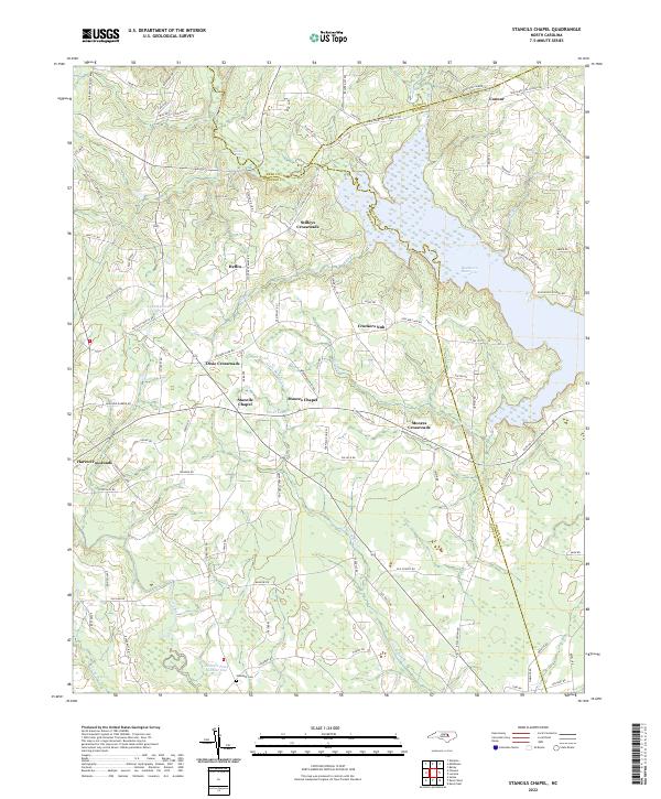
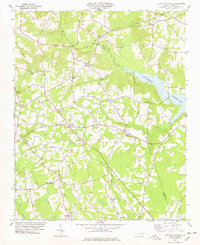
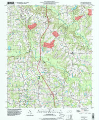
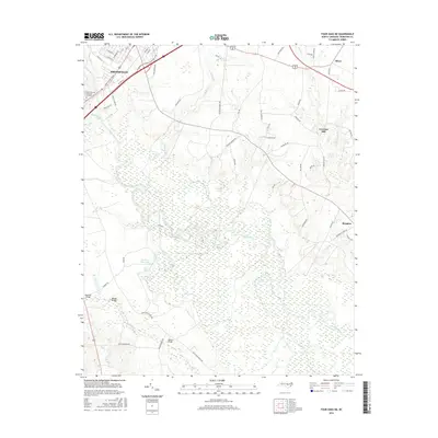
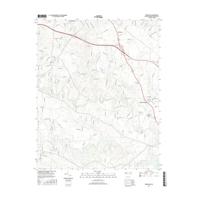
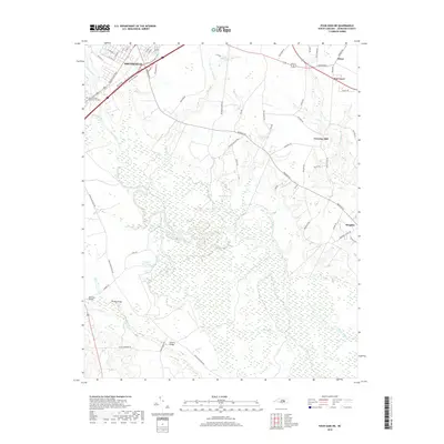
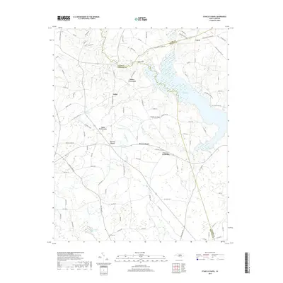
2022 Map of Stancils Chapel
USGS Topo · Published 2022About this map
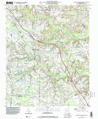
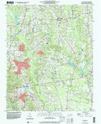
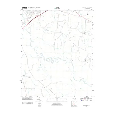
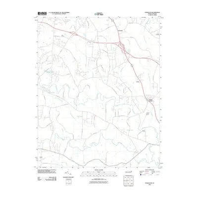
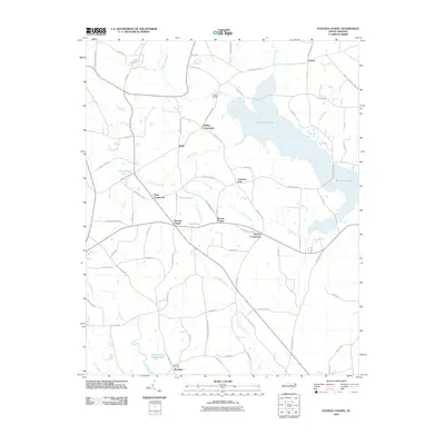
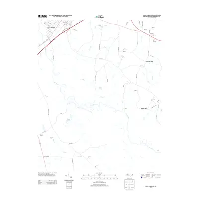
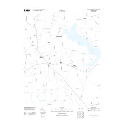
Stancils Chapel and the nearby Moores Chapel anchor this rural landscape in Johnston County, defined by a network of historic intersections such as Stilleys Crossroads and Dixie Crossroads. The eastern half of the map is dominated by the expansive Buckhorn Reservoir, where the waters of Bull Br and Mill Br meet the tri-county border with Nash and Wilson. The terrain is a mix of agricultural lowlands and managed water bodies like Lake Andrew Acres and Silver Lake. Local history and genealogy researchers will find several family-named landmarks and the Shoeheel Cem south of Flowers Pond Number One, offering a clear view of the area's modern settlement patterns and the preservation of its traditional crossroads identifiers.
Find a feature on this map
96 named features on this map. Tap any name to fly to it.
Don’t see what you’re looking for? This feature index may not catch every label — zoom into the map to look around manually.
Map Details
Editions of this 2022 Stancils Chapel Map
This is the sole edition of this map. No revisions or reprints were ever made.
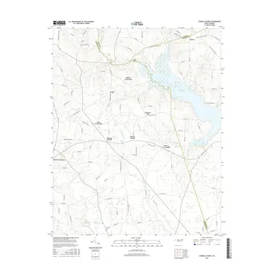
Historical Maps of Crockers Nub Through Time
54 maps found
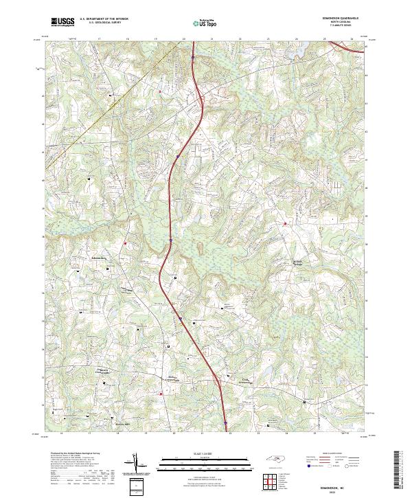
1964 Edmondson
Johnston County, NC
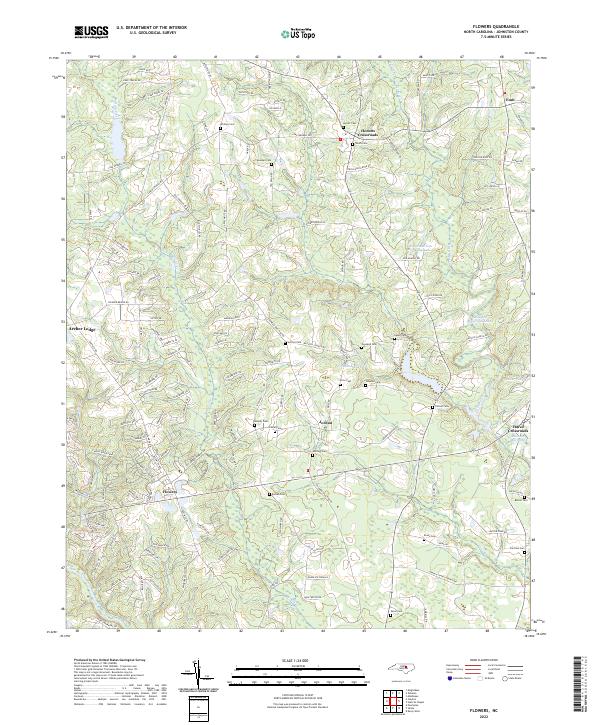
1964 Flowers
Johnston County, NC
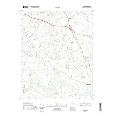
1964 Powhatan
Johnston County, NC

1978 Kenly West
Johnston County, NC
1978 Stancils Chapel
Johnston County, NC
1986 Four Oaks NE
Johnston County, NC
1986 Newton Grove North
Johnston County, NC
1986 Peacocks Crossroads
Johnston County, NC
1993 Edmondson
Johnston County, NC
1993 Powhatan
Johnston County, NC
1997 Four Oaks NE
Johnston County, NC
1997 Newton Grove North
Johnston County, NC
1997 Peacocks Crossroads
Johnston County, NC
1998 Flowers
Johnston County, NC
2010 Edmondson
Johnston County, NC
2010 Flowers
Johnston County, NC
2010 Four Oaks NE
Johnston County, NC
2010 Kenly West
Johnston County, NC
2010 Newton Grove North
Johnston County, NC
2010 Peacocks Crossroads
Johnston County, NC
2010 Powhatan
Johnston County, NC
2010 Stancils Chapel
Johnston County, NC
2013 Edmondson
Johnston County, NC
2013 Flowers
Johnston County, NC
2013 Four Oaks NE
Johnston County, NC
2013 Kenly West
Johnston County, NC
2013 Newton Grove North
Johnston County, NC
2013 Peacocks Crossroads
Johnston County, NC
2013 Powhatan
Johnston County, NC
2013 Stancils Chapel
Johnston County, NC
2016 Edmondson
Johnston County, NC
2016 Flowers
Johnston County, NC
2016 Four Oaks NE
Johnston County, NC
2016 Kenly West
Johnston County, NC
2016 Newton Grove North
Johnston County, NC
2016 Peacocks Crossroads
Johnston County, NC
2016 Powhatan
Johnston County, NC
2016 Stancils Chapel
Johnston County, NC
2019 Edmondson
Johnston County, NC
2019 Flowers
Johnston County, NC
2019 Four Oaks NE
Johnston County, NC
2019 Kenly West
Johnston County, NC
2019 Newton Grove North
Johnston County, NC
2019 Peacocks Crossroads
Johnston County, NC
2019 Powhatan
Johnston County, NC
2019 Stancils Chapel
Johnston County, NC
2022 Edmondson
Johnston County, NC
2022 Flowers
Johnston County, NC
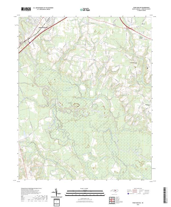
2022 Four Oaks NE
Johnston County, NC
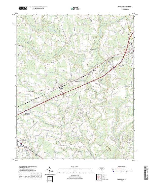
2022 Kenly West
Johnston County, NC
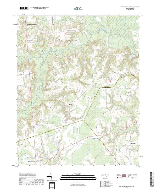
2022 Newton Grove North
Johnston County, NC
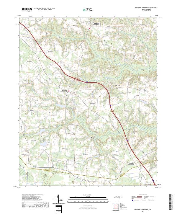
2022 Peacocks Crossroads
Johnston County, NC
2022 Powhatan
Johnston County, NC
2022 Stancils Chapel
Johnston County, NC