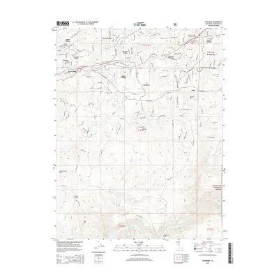
2015 Map of Standard
USGS Topo · Published 2015About this map
Standard and the surrounding foothill communities of Tuolumne County are captured in this 2015 study, illustrating a landscape defined by historic water management and residential expansion. The map details the intricate network of the Phoenix Ditch and Algerine Ditch, remnants of the region's hydraulic history, alongside modern developments like Sonora Hills and Peaceful Valley. To the south, the terrain descends toward the Tuolumne River and the northern reaches of the Don Pedro Reservoir, where the Wards Ferry Bridge marks a significant crossing point. This survey provides a precise look at the geography between Sonora and Soulsbyville, including landmarks like the Mountain Shadow Catholic Cemetery and the elevation of Buckhorn Mtn. The transition from suburban clusters to the protected lands of the Stanislaus National Forest reveals the contemporary interface between mountain settlements and the California wilderness.
Find a feature on this map
42 named features on this map. Tap any name to fly to it.
Don’t see what you’re looking for? This feature index may not catch every label — zoom into the map to look around manually.
Map Details
Editions of this 2015 Standard Map
This is the sole edition of this map. No revisions or reprints were ever made.
Other maps of this area

1891 · Big Trees
USGS Topo · 1:125,000

1893 · Sonora
USGS Topo · 1:125,000

1894 · Big Trees
USGS Topo · 1:125,000

1896 · Sonora
USGS Topo · 1:125,000

1897 · Sonora
USGS Topo · 1:125,000

1897 · Big Trees
USGS Topo · 1:125,000

1898 · Sonora
USGS Topo · 1:125,000

1901 · Big Trees
USGS Topo · 1:125,000

1947 · Sacramento
USGS Topo · 1:250,000

1947 · San Jose
USGS Topo · 1:250,000