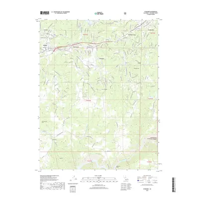
2018 Map of Standard
USGS Topo · Published 2018About this map
Sonora and its surrounding Mother Lode settlements are depicted in this 2018 survey, showcasing a landscape shaped by historical mining and modern development. The map details the residential expansion from East Sonora toward Standard and Soulsbyville, while maintaining the distinct rural character of the foothills. Of particular interest to genealogists are the Saint Patrick's Catholic Cem and Mountain Shadow Cem, which sit near the northern edge of the map.
Find a feature on this map
36 named features on this map. Tap any name to fly to it.
Don’t see what you’re looking for? This feature index may not catch every label — zoom into the map to look around manually.
Map Details
Editions of this 2018 Standard Map
This is the sole edition of this map. No revisions or reprints were ever made.
Other maps of this area

1891 · Big Trees
USGS Topo · 1:125,000

1893 · Sonora
USGS Topo · 1:125,000

1894 · Big Trees
USGS Topo · 1:125,000

1896 · Sonora
USGS Topo · 1:125,000

1897 · Sonora
USGS Topo · 1:125,000

1897 · Big Trees
USGS Topo · 1:125,000

1898 · Sonora
USGS Topo · 1:125,000

1901 · Big Trees
USGS Topo · 1:125,000

1947 · Sacramento
USGS Topo · 1:250,000

1947 · San Jose
USGS Topo · 1:250,000