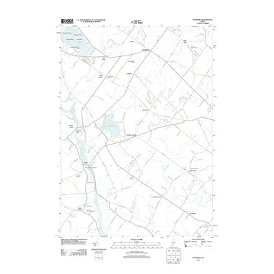
2011 Map of Standish
USGS Topo · Published 2011About this map
The Saco River serves as a defining boundary in this part of Cumberland County, flowing past the Bonney Eagle Dam and West Buxton Dam at the southern edge of the sheet. The landscape is characterized by its numerous water bodies, including Watchic Pond with its several named islands like Treasure Island and Big Island, and Bonny Eagle Pond located more centrally. On the northern shore of Watchic Pond, the Douglass Seaplane Base highlights a specialized form of regional transport and recreation.
Find a feature on this map
135 named features on this map. Tap any name to fly to it.
Don’t see what you’re looking for? This feature index may not catch every label — zoom into the map to look around manually.
Map Details
Editions of this 2011 Standish Map
This is the sole edition of this map. No revisions or reprints were ever made.
Other maps of this area

1891 · Portland
USGS Topo · 1:62,500

1891 · Buxton
USGS Topo · 1:62,500

1892 · Buxton
USGS Topo · 1:62,500

1893 · Portland
USGS Topo · 1:62,500

1893 · Buxton
USGS Topo · 1:62,500

1894 · Gray
USGS Topo · 1:62,500

1896 · Sebago
USGS Topo · 1:62,500

1898 · Gray
USGS Topo · 1:62,500

1914 · Portland
USGS Topo · 1:48,000

1916 · Portland
USGS Topo · 1:62,500