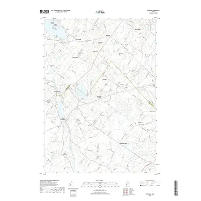
2018 Map of Standish
USGS Topo · Published 2018About this map
Standish and its surrounding village clusters define this landscape where the Saco River serves as the boundary between Cumberland and York counties. The area is characterized by an exceptional density of small family and community burial grounds, such as the Hobson Joseph Cem, Sawyer Deering Cem, and Paine Cem, which offer significant value for genealogical research in this part of Maine. These sites are scattered across a terrain shaped by the Stickney River and Little River.
Find a feature on this map
154 named features on this map. Tap any name to fly to it.
Don’t see what you’re looking for? This feature index may not catch every label — zoom into the map to look around manually.
Map Details
Editions of this 2018 Standish Map
This is the sole edition of this map. No revisions or reprints were ever made.
Other maps of this area

1891 · Portland
USGS Topo · 1:62,500

1891 · Buxton
USGS Topo · 1:62,500

1892 · Buxton
USGS Topo · 1:62,500

1893 · Portland
USGS Topo · 1:62,500

1893 · Buxton
USGS Topo · 1:62,500

1894 · Gray
USGS Topo · 1:62,500

1896 · Sebago
USGS Topo · 1:62,500

1898 · Gray
USGS Topo · 1:62,500

1914 · Portland
USGS Topo · 1:48,000

1916 · Portland
USGS Topo · 1:62,500