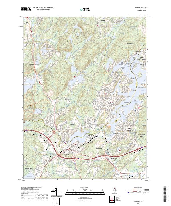
2023 Map of Stanhope
USGS Topo · Published 2023About this map
The Musconetcong River serves as the dividing line between Sussex and Morris counties, anchoring a region defined by its historic water-based transit and lakeside communities. In the southern portion of the quadrangle, the industrial and transport hubs of Stanhope, Netcong, and Port Morris cluster around the shores of Lake Musconetcong. This area exhibits a dense network of transit history, from the Sussex Branch railroad alignment to the Sussex Branch Trl and major thoroughfares like Kings Hwy.
Find a feature on this map
287 named features on this map. Tap any name to fly to it.
Don’t see what you’re looking for? This feature index may not catch every label — zoom into the map to look around manually.
Map Details
Editions of this 2023 Stanhope Map
This is the sole edition of this map. No revisions or reprints were ever made.
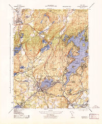
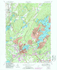
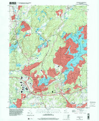
Historical Maps of Jefferson Township Through Time
4 maps found