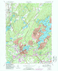
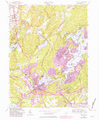
1954 Map of Stanhope
USGS Topo · Published 1986About this map
Lake Hopatcong dominates the eastern half of this landscape, its intricate shoreline defined by places like Byram Cove, Henderson Bay, and Bertrand Island. The surrounding Highlands terrain is heavily dotted with glacial water bodies, from the secluded Hughs Pond to the developed shores of Lake Lackawanna. This edition includes purple revisions showing post-war suburban growth, particularly around the established centers of Stanhope and Netcong.
Find a feature on this map
106 named features on this map. Tap any name to fly to it.
Don’t see what you’re looking for? This feature index may not catch every label — zoom into the map to look around manually.
Map Details
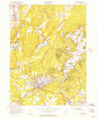
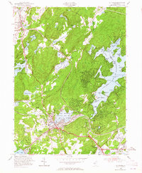
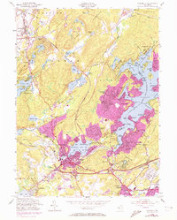
Editions of this 1954 Stanhope Map
5 editions found
Other maps of this area

1888 · Franklin
USGS Topo · 1:62,500

1888 · Hackettstown
USGS Topo · 1:62,500

1888 · Lake Hopatcong
USGS Topo · 1:62,500

1891 · Wallpack
USGS Topo · 1:62,500

1893 · Wallpack
USGS Topo · 1:62,500

1894 · Hackettstown
USGS Topo · 1:62,500

1894 · Lake Hopatcong
USGS Topo · 1:62,500

1894 · Franklin
USGS Topo · 1:62,500

1897 · Franklin
USGS Topo · 1:62,500

1898 · Lake Hopatcong
USGS Topo · 1:62,500