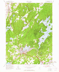
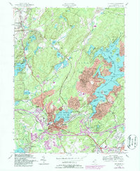
1954 Map of Stanhope
USGS Topo · Published 1965About this map
Lake Hopatcong dominates the eastern landscape of this 1954 study, its intricate shoreline dotted with summer colonies and landings such as Sperry Springs, Point Pleasant, and Nolans Pt. The water-driven geography of the region is evident in the cluster of industrial and transit hubs at Stanhope, Netcong, and Port Morris, where the Delaware Lackawanna and Western railroad intersects with the Musconetcong State Park reservoir system.
Find a feature on this map
111 named features on this map. Tap any name to fly to it.
Don’t see what you’re looking for? This feature index may not catch every label — zoom into the map to look around manually.
Map Details
Editions of this 1954 Stanhope Map
5 editions found
Other maps of this area

1888 · Franklin
USGS Topo · 1:62,500

1888 · Hackettstown
USGS Topo · 1:62,500

1888 · Lake Hopatcong
USGS Topo · 1:62,500

1891 · Wallpack
USGS Topo · 1:62,500

1893 · Wallpack
USGS Topo · 1:62,500

1894 · Hackettstown
USGS Topo · 1:62,500

1894 · Lake Hopatcong
USGS Topo · 1:62,500

1894 · Franklin
USGS Topo · 1:62,500

1897 · Franklin
USGS Topo · 1:62,500

1898 · Lake Hopatcong
USGS Topo · 1:62,500