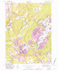
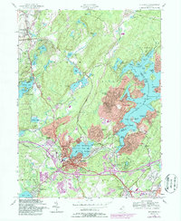
1954 Map of Stanhope
USGS Topo · Published 1981About this map
Lake Hopatcong serves as the centerpiece of this northern New Jersey highlands region, where the intricate shoreline is dotted with local landmarks like Bertrand Island, Raccoon Island, and Bonaparte Landing. The map illustrates a landscape defined by water and recreation, showing the proximity of the Musconetcong River and Lake Musconetcong to the established borough centers of Stanhope and Netcong. These twin towns developed around the hydraulic power and transportation corridor of the valley, while the surrounding hills became increasingly suburbanized as shown by the growth of Shore Hills and Hopatcong Heights. Cultural and educational centers are clearly marked, including St Joseph Ch and Our Lady of the Lake Ch, alongside local institutions like the Consolidated Sch and Budd Lake Sch. The presence of the Lake Lackawanna Golf Course and numerous named coves and points like Byram Cove and Prospect Point reflect the area's mid-century transition from seasonal lake retreats into permanent residential communities.
Find a feature on this map
112 named features on this map. Tap any name to fly to it.
Don’t see what you’re looking for? This feature index may not catch every label — zoom into the map to look around manually.
Map Details
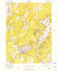
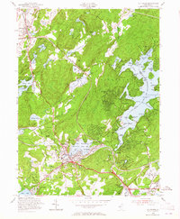
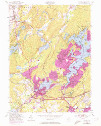
Editions of this 1954 Stanhope Map
5 editions found
Other maps of this area

1888 · Franklin
USGS Topo · 1:62,500

1888 · Hackettstown
USGS Topo · 1:62,500

1888 · Lake Hopatcong
USGS Topo · 1:62,500

1891 · Wallpack
USGS Topo · 1:62,500

1893 · Wallpack
USGS Topo · 1:62,500

1894 · Hackettstown
USGS Topo · 1:62,500

1894 · Lake Hopatcong
USGS Topo · 1:62,500

1894 · Franklin
USGS Topo · 1:62,500

1897 · Franklin
USGS Topo · 1:62,500

1898 · Lake Hopatcong
USGS Topo · 1:62,500