
1975 Map of Stanley Gulch
USGS Topo · Published 1978About this map
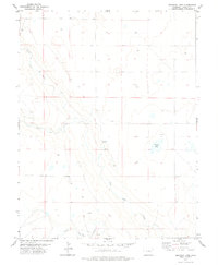
South Rush Creek and Middle Rush Creek carve through the high plains of Lincoln County in this mid-1970s topographic study. The landscape is defined by intermittent drainages and isolated landmarks, most notably the eponymous Stanley Gulch which cuts across the eastern portion of the quadrangle. This area represents a sparsely settled ranching or agricultural environment, where water access was a primary concern for land management, evidenced by the multiple Well sites and livestock tanks scattered across the sections.
Find a feature on this map
5 named features on this map. Tap any name to fly to it.
Don’t see what you’re looking for? This feature index may not catch every label — zoom into the map to look around manually.
Map Details
Editions of this 1975 Stanley Gulch Map
This is the sole edition of this map. No revisions or reprints were ever made.
Other maps of this area

1889 · Sanborn
USGS Topo · 1:125,000

1891 · Sanborn
USGS Topo · 1:125,000

1891 · Arroyo
USGS Topo · 1:125,000

1893 · Arroyo
USGS Topo · 1:125,000

1893 · Sanborn
USGS Topo · 1:125,000

1954 · Lamar
USGS Topo · 1:250,000

1958 · Lamar
USGS Topo · 1:250,000

1977 · Punkin Center
USGS Topo · 1:24,000
1978 · Beckman Lake
USGS Topo · 1:24,000
1978 · Kinney Lake
USGS Topo · 1:24,000