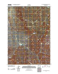
2011 Map of Star Creek Reservoir
USGS Topo · Published 2011About this map
Star Ranch and Rodger Ranch anchor this high-desert landscape in Malheur County, where water management is the primary driver of development. The Star Creek Dam creates the central Star Creek Reservoir, supported by an intricate network of water features including the Star Creek Ditch and various mountain springs like Whiskey Jack Spring and Aspen Spring. This system of reservoirs and ditches illustrates the essential infrastructure required for ranching in Oregon's arid eastern reaches.
Find a feature on this map
30 named features on this map. Tap any name to fly to it.
Don’t see what you’re looking for? This feature index may not catch every label — zoom into the map to look around manually.
Map Details
Editions of this 2011 Star Creek Reservoir Map
This is the sole edition of this map. No revisions or reprints were ever made.
Other maps of this area

1955 · Burns
USGS Topo · 1:250,000

1955 · Boise
USGS Topo · 1:250,000

1958 · Burns
USGS Topo · 1:250,000

1958 · Boise
USGS Topo · 1:250,000

1959 · Burns
USGS Topo · 1:250,000

1962 · Boise
USGS Topo · 1:250,000

1972 · Burnt Flat
USGS Topo · 1:24,000

1972 · Shumway Reservoir
USGS Topo · 1:24,000

1972 · Alder Creek
USGS Topo · 1:24,000

1972 · Crowley
USGS Topo · 1:24,000