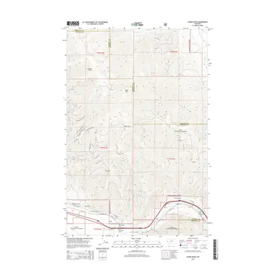
2014 Map of Stark South
USGS Topo · Published 2014About this map
Lolo National Forest dominates the landscape of this Montana survey, where the border of Missoula and Mineral counties weaves through complex mountain terrain. The Clark Fork river serves as the primary corridor for transit at the southern edge, followed closely by the path of Interstate 90 and the historic Old Highway 10 W. The settlement of Cyr serves as a local waypoint near the Cyr Bridge, while higher elevations are marked by the Ninemile Divide and Vulture Divide.
Find a feature on this map
53 named features on this map. Tap any name to fly to it.
Don’t see what you’re looking for? This feature index may not catch every label — zoom into the map to look around manually.
Map Details
Editions of this 2014 Stark South Map
This is the sole edition of this map. No revisions or reprints were ever made.
Other maps of this area

1911 · Lolo
USGS Topo · 1:250,000

1912 · Missoula
USGS Topo · 1:125,000

1913 · Lolo
USGS Topo · 1:250,000

1956 · Wallace
USGS Topo · 1:250,000

1956 · Hamilton
USGS Topo · 1:250,000

1959 · Hamilton
USGS Topo · 1:250,000

1959 · Tarkio
USGS Topo · 1:62,500

1959 · Alberton
USGS Topo · 1:62,500

1960 · Wallace
USGS Topo · 1:250,000

1960 · Hamilton
USGS Topo · 1:250,000