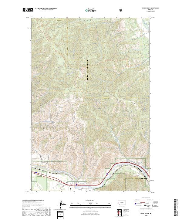
2024 Map of Stark South
USGS Topo · Published 2024About this map
The Clark Fork river carves through the southern edge of this mountain landscape, following a narrow valley corridor that serves as the primary route for infrastructure including Old Hwy 10 W. Within the surrounding Lolo National Forest, a network of Forest Service roads such as (FDR) Freeze Out Ridge and (FDR) Respite provides access to the high ridges and timbered slopes. The settlement of Cyr is the lone named community, situated where Sawmill Gulch RD meets the river valley.
Find a feature on this map
59 named features on this map. Tap any name to fly to it.
Don’t see what you’re looking for? This feature index may not catch every label — zoom into the map to look around manually.
Map Details
Editions of this 2024 Stark South Map
This is the sole edition of this map. No revisions or reprints were ever made.
Other maps of this area

1911 · Lolo
USGS Topo · 1:250,000

1912 · Missoula
USGS Topo · 1:125,000

1913 · Lolo
USGS Topo · 1:250,000

1956 · Wallace
USGS Topo · 1:250,000

1956 · Hamilton
USGS Topo · 1:250,000

1959 · Hamilton
USGS Topo · 1:250,000

1959 · Tarkio
USGS Topo · 1:62,500

1959 · Alberton
USGS Topo · 1:62,500

1960 · Wallace
USGS Topo · 1:250,000

1960 · Hamilton
USGS Topo · 1:250,000