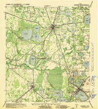
1941 Map of Starke
USGS Topo · Published 1942About this map
Starke and the surrounding pine lands of North Florida are depicted here just as the United States entered World War II, revealing a landscape defined by its strategic military and transport importance. The sprawling Camp Blanding Military Reservation dominates the eastern portion of the map, established as a major training site. The region's geography is characterized by an extensive network of lakes and waterways, including the large Lake Sampson and the headwaters of the Santa Fe River.
Find a feature on this map
44 named features on this map. Tap any name to fly to it.
Don’t see what you’re looking for? This feature index may not catch every label — zoom into the map to look around manually.
Map Details
Editions of this 1941 Starke Map
This is the sole edition of this map. No revisions or reprints were ever made.
Other maps of this area
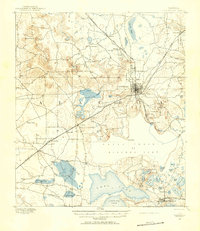
1890 · Arredondo
USGS Topo · 1:62,500
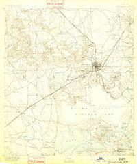
1892 · Arredondo
USGS Topo · 1:62,500
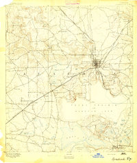
1894 · Arredondo
USGS Topo · 1:62,500
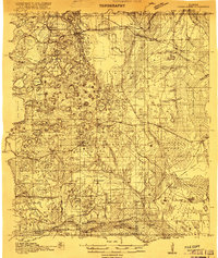
1915 · Interlachen
USGS Topo · 1:48,000
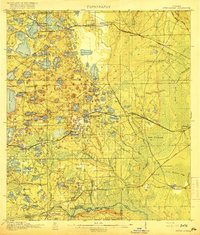
1916 · Interlachen
USGS Topo · 1:62,500
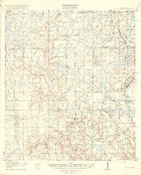
1918 · Middleburg
USGS Topo · 1:62,500
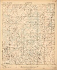
1918 · Lawtey
USGS Topo · 1:62,500
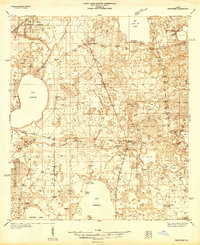
1938 · Hawthorn
USGS Topo · 1:48,000
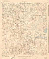
1941 · Middleburg
USGS Topo · 1:62,500
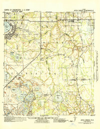
1942 · Ates Creek
USGS Topo · 1:62,500