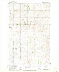
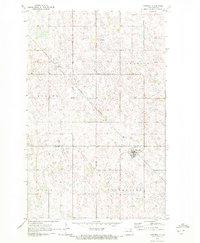
1962 Map of Starkweather NE
USGS Topo · Published 1964About this map
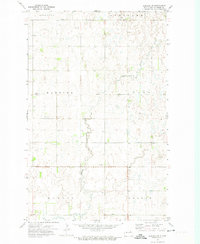
The prairie landscape of Ramsey County is defined by the scattered wetlands and potholes typical of the Missouri River Basin. At the heart of this township-based grid lies Starkweather, situated near the intersection of several rural sections. Just outside the settlement, two distinct burial grounds, Calvary Cem and Starkweather Cem, serve as important landmarks for genealogical research. The map illustrates a drainage pattern dominated by the Starkweather Coulee, which meanders through the townships of Royal and Sullivan. In the southwestern corner, the terrain gives way to the broad marshy expanse of Shea Slough, reflecting the natural hydrology of the North Dakota plains during the early 1960s. These features, along with a local Gravel Pit and established township divisions like Klingstrup and Hammer, document the agricultural and infrastructural footprint of the era.
Find a feature on this map
13 named features on this map. Tap any name to fly to it.
Don’t see what you’re looking for? This feature index may not catch every label — zoom into the map to look around manually.
Map Details
Editions of this 1962 Starkweather NE Map
This is the sole edition of this map. No revisions or reprints were ever made.
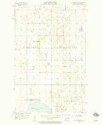
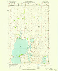
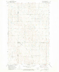
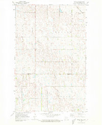
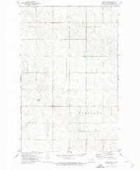
Other maps of this area

1953 · Devils Lake
USGS Topo · 1:250,000

1956 · Devils Lake
USGS Topo · 1:250,000
1957 · Starkweather SE
USGS Topo · 1:24,000
1957 · Webster
USGS Topo · 1:24,000
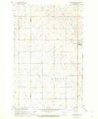
1962 · Starkweather
USGS Topo · 1:24,000
1970 · Hampden
USGS Topo · 1:24,000
1971 · Munich SW
USGS Topo · 1:24,000
1971 · Munich SE
USGS Topo · 1:24,000
1972 · Derrick NW
USGS Topo · 1:24,000
1972 · Derrick SW
USGS Topo · 1:24,000