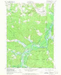
1962 Map of Steamburg
USGS Topo · Published 1971About this map
The Allegheny Reservoir dominates this landscape along the New York-Pennsylvania state line, capturing a transitional moment in the valley's geography. Blue hatching across the terrain indicates the areas planned for submergence at a normal pool elevation of 1328 feet, a change that would fundamentally alter the Allegany Indian Reservation and the riverfront. The settlement of Onoville and the crossing at Quaker Bridge are situated within these inundation zones, while the Erie-Lackawanna railroad runs along the northern valley edge through Steamburg. Genealogists and local historians can find specifically located landmarks like the Cold Spring Sch No 3, Oldtown Cem, and Steamburg Cem, as well as numerous family-named roads such as Corbett Hill Road and McGraw Road. The map also details the early boundaries of Allegany State Park and various State Reforestation Areas across the uplands.
Find a feature on this map
61 named features on this map. Tap any name to fly to it.
Don’t see what you’re looking for? This feature index may not catch every label — zoom into the map to look around manually.
Map Details
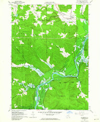
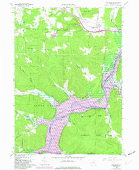
Editions of this 1962 Steamburg Map
3 editions found
Other maps of this area

1905 · Jamestown
USGS Topo · 1:62,500

1906 · Warren
USGS Topo · 1:62,500

1907 · Warren
USGS Topo · 1:62,500

1908 · Warren
USGS Topo · 1:62,500

1922 · Randolph
USGS Topo · 1:62,500

1923 · Randolph
USGS Topo · 1:62,500

1936 · Kinzua
USGS Topo · 1:48,000

1941 · Kinzua
USGS Topo · 1:62,500

1942 · Jamestown
USGS Topo · 1:62,500

1943 · Randolph
USGS Topo · 1:62,500