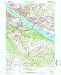
1963 Map of Steelton
USGS Topo · Published 1987About this map
The Susquehanna River dominates this landscape, punctuated by a chain of islands including Sheesly Island, Stucker Island, and Zimmerman Island. Industry and transportation infrastructure define the river's banks, from the sprawling steel facilities in Steelton to the significant footprints of the New Cumberland General Depot and Harrisburg International Airport. Traces of earlier eras persist in the remnants of the Pennsylvania Canal near Highspire.
Find a feature on this map
87 named features on this map. Tap any name to fly to it.
Don’t see what you’re looking for? This feature index may not catch every label — zoom into the map to look around manually.
Map Details
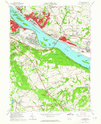
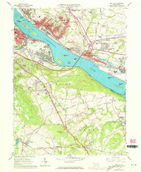
Editions of this 1963 Steelton Map
3 editions found
Other maps of this area

1892 · Hummelstown
USGS Topo · 1:62,500

1892 · Harrisburg
USGS Topo · 1:62,500

1899 · Harrisburg
USGS Topo · 1:62,500

1906 · New Cumberland
USGS Topo · 1:62,500

1908 · Middletown
USGS Topo · 1:62,500

1924 · Hummelstown
USGS Topo · 1:62,500

1924 · Harrisburg
USGS Topo · 1:62,500

1943 · New Cumberland
USGS Topo · 1:62,500

1943 · Middletown
USGS Topo · 1:62,500

1943 · Harrisburg
USGS Topo · 1:62,500