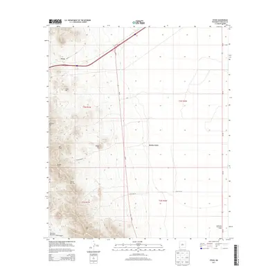
2013 Map of Steins
USGS Topo · Published 2013About this map
Peloncillo Mountains dominate the western portion of this Hidalgo County landscape, where the high desert meets the northern reaches of the Wood Canyon drainage. The small settlement of Steins sits along Steins Rd in the northwest, serving as a landmark near the pass between Cedar Mtn and the higher peaks to the south. The terrain is defined by dramatic elevation changes at McGhee Peak and Attorney Mtn, with local access provided by primitive tracks like McGhee Mine Rd.
Find a feature on this map
21 named features on this map. Tap any name to fly to it.
Don’t see what you’re looking for? This feature index may not catch every label — zoom into the map to look around manually.
Map Details
Editions of this 2013 Steins Map
This is the sole edition of this map. No revisions or reprints were ever made.
Other maps of this area

1917 · San Simon
USGS Topo · 1:125,000

1926 · Orange Butte
USGS Topo · 1:62,500

1928 · Chenoweth
USGS Topo · 1:62,500

1950 · San Simon
USGS Topo · 1:62,500

1950 · Vanar
USGS Topo · 1:62,500

1951 · Vanar
USGS Topo · 1:62,500

1951 · San Simon
USGS Topo · 1:62,500

1954 · Silver City
USGS Topo · 1:250,000

1958 · Silver City
USGS Topo · 1:250,000

1962 · Silver City
USGS Topo · 1:250,000