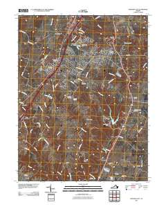
2010 Map of Stephens City
USGS Topo · Published 2010About this map
Stephens City and its surrounding crossroads communities sit at the center of this 2010 topographic study, showing a landscape defined by the winding course of Opequon Creek and numerous tributary runs. The map documents the persistent agricultural and industrial heritage of Frederick County through several named mill sites, including Parkins Mills, Klines Mill, and Ridings Mill. A cluster of rural cemeteries such as Macedonia Cemetery and Green Hill Cemetery provides vital data for genealogical research in this corridor of northern Virginia.
Find a feature on this map
67 named features on this map. Tap any name to fly to it.
Don’t see what you’re looking for? This feature index may not catch every label — zoom into the map to look around manually.
Map Details
Editions of this 2010 Stephens City Map
This is the sole edition of this map. No revisions or reprints were ever made.
Other maps of this area

1893 · Luray
USGS Topo · 1:125,000

1894 · Winchester
USGS Topo · 1:125,000

1905 · Luray
USGS Topo · 1:125,000

1923 · Middletown
USGS Topo · 1:62,500

1937 · Middletown
USGS Topo · 1:48,000

1938 · Winchester
USGS Topo · 1:48,000

1939 · Front Royal
USGS Topo · 1:48,000

1942 · Winchester
USGS Topo · 1:62,500

1943 · Middletown
USGS Topo · 1:62,500

1944 · Front Royal
USGS Topo · 1:62,500