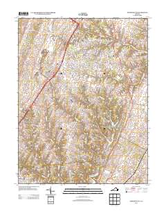
2013 Map of Stephens City
USGS Topo · Published 2013About this map
Stephens City serves as the central hub of this northern Virginia landscape, where the modern path of I-81 parallels the historic routes connecting Bartonsville and Vaucluse. The area is defined by a dense network of watercourses, including Opequon Cr and Stephens Run, which historically powered local industry as evidenced by the Springdale Mill Complex, Klines Mill, and Ridings Mill. These mill sites, along with landmarks like Double Tollgate and State Prison Camp Number 7, reflect a transition from early agrarian roots to a more developed corridor. Family and community heritage is anchored by sites like Refuge Church and the various farms such as Stonewall Farm and Valley View Farm, while recreational and residential growth is visible around Lake Frederick and Lakeside Lake.
Find a feature on this map
38 named features on this map. Tap any name to fly to it.
Don’t see what you’re looking for? This feature index may not catch every label — zoom into the map to look around manually.
Map Details
Editions of this 2013 Stephens City Map
This is the sole edition of this map. No revisions or reprints were ever made.
Other maps of this area

1893 · Luray
USGS Topo · 1:125,000

1894 · Winchester
USGS Topo · 1:125,000

1905 · Luray
USGS Topo · 1:125,000

1923 · Middletown
USGS Topo · 1:62,500

1937 · Middletown
USGS Topo · 1:48,000

1938 · Winchester
USGS Topo · 1:48,000

1939 · Front Royal
USGS Topo · 1:48,000

1942 · Winchester
USGS Topo · 1:62,500

1943 · Middletown
USGS Topo · 1:62,500

1944 · Front Royal
USGS Topo · 1:62,500