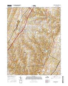
2016 Map of Stephens City
USGS Topo · Published 2016About this map
Stephens City and its surrounding rural landscapes in Frederick County are documented in this 2016 survey, where the historic Valley Pike serves as a primary corridor through the Shenandoah Valley. The map records several small hamlets and mill sites that speak to the area's agricultural and industrial heritage, including Klines Mill, Ridings Mill, and Parkins Mills. Water resources are central to the terrain, featuring the prominent Lake Frederick and the natural flow of Opequon Cr and Stephens Run.
Find a feature on this map
154 named features on this map. Tap any name to fly to it.
Don’t see what you’re looking for? This feature index may not catch every label — zoom into the map to look around manually.
Map Details
Editions of this 2016 Stephens City Map
This is the sole edition of this map. No revisions or reprints were ever made.
Other maps of this area

1893 · Luray
USGS Topo · 1:125,000

1894 · Winchester
USGS Topo · 1:125,000

1905 · Luray
USGS Topo · 1:125,000

1923 · Middletown
USGS Topo · 1:62,500

1937 · Middletown
USGS Topo · 1:48,000

1938 · Winchester
USGS Topo · 1:48,000

1939 · Front Royal
USGS Topo · 1:48,000

1942 · Winchester
USGS Topo · 1:62,500

1943 · Middletown
USGS Topo · 1:62,500

1944 · Front Royal
USGS Topo · 1:62,500