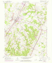
1966 Map of Stephens City
USGS Topo · Published 1978About this map
Stephens City serves as the focal point of this Frederick County landscape, where the Baltimore and Ohio railroad corridor meets the developing interstate system at Interchange 78. The terrain is defined by the winding course of Opequon Creek and its tributaries, including Stephens Run and Hoge Run. This survey captures a moment of transition, showing the expansion of transportation infrastructure alongside established rural landmarks like the Sacred Heart Monastery and several local congregations such as Macedonia Ch and Ridings Chapel. Industrial footprints are evident in numerous quarries and shale pits, while smaller communities like Bartonville and Nineveh maintain their traditional footprints near the Clarke and Warren County borders. Other unique sites of the era include a drive-in theatre and the State Prison Camp No 7 near Double Tollgate.
Find a feature on this map
48 named features on this map. Tap any name to fly to it.
Don’t see what you’re looking for? This feature index may not catch every label — zoom into the map to look around manually.
Map Details
Editions of this 1966 Stephens City Map
3 editions found
Other maps of this area

1893 · Luray
USGS Topo · 1:125,000

1894 · Winchester
USGS Topo · 1:125,000

1905 · Luray
USGS Topo · 1:125,000

1923 · Middletown
USGS Topo · 1:62,500

1937 · Middletown
USGS Topo · 1:48,000

1938 · Winchester
USGS Topo · 1:48,000

1939 · Front Royal
USGS Topo · 1:48,000

1942 · Winchester
USGS Topo · 1:62,500

1943 · Middletown
USGS Topo · 1:62,500

1944 · Front Royal
USGS Topo · 1:62,500