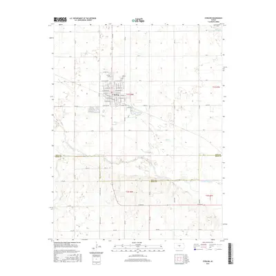
2015 Map of Sterling
USGS Topo · Published 2015About this map
Sterling serves as a central hub in the mid-2010s, situated near the border of Rice Co and Reno Co. The town layout is defined by a grid of numbered streets and avenues named after presidents, such as W Jefferson Ave and E Monroe St. On the north side of the community, the presence of Sterling Coll and the Sterling Cem highlights its role as an established educational and social center for the surrounding agricultural plains.
Find a feature on this map
42 named features on this map. Tap any name to fly to it.
Don’t see what you’re looking for? This feature index may not catch every label — zoom into the map to look around manually.
Map Details
Editions of this 2015 Sterling Map
This is the sole edition of this map. No revisions or reprints were ever made.
Other maps of this area

1894 · Lyons
USGS Topo · 1:125,000

1955 · Great Bend
USGS Topo · 1:250,000

1957 · Great Bend
USGS Topo · 1:250,000

1958 · Great Bend
USGS Topo · 1:250,000

1960 · Yaggy
USGS Topo · 1:24,000

1966 · Sterling SW
USGS Topo · 1:24,000

1967 · Alden
USGS Topo · 1:24,000
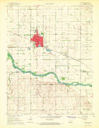
1967 · Sterling
USGS Topo · 1:24,000

1970 · Lyons
USGS Topo · 1:24,000
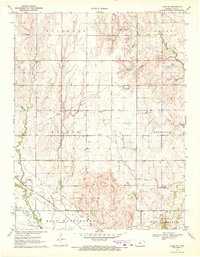
1970 · Lyons SE
USGS Topo · 1:24,000