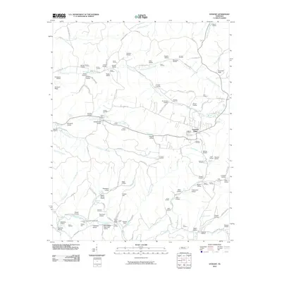
2010 Map of Stewart
USGS Topo · Published 2010About this map
Tennessee Ridge serves as a central landmark for this rural landscape in Stewart County, characterized by a complex network of named hollows and creek branches. The Stewart Post Office acts as a community focal point along the central corridor, while small clusters like New Hope anchor the southern reaches. The map reveals an extensive genealogical record through dozens of family-named burial grounds, including the Barnes Cemetery, Phillips Cemetery, and Summers Cemetery.
Find a feature on this map
131 named features on this map. Tap any name to fly to it.
Don’t see what you’re looking for? This feature index may not catch every label — zoom into the map to look around manually.
Map Details
Editions of this 2010 Stewart Map
This is the sole edition of this map. No revisions or reprints were ever made.
Other maps of this area

1931 · Erin
USGS Topo · 1:62,500

1936 · Tantrough Hollow
USGS Topo · 1:24,000

1936 · McKinnon
USGS Topo · 1:24,000

1936 · Woolworth
USGS Topo · 1:24,000

1936 · Stewart
USGS Topo · 1:24,000

1936 · Halls Creek
USGS Topo · 1:24,000

1936 · Harmon Creek
USGS Topo · 1:24,000

1936 · Standing Rock
USGS Topo · 1:24,000

1936 · Dover
USGS Topo · 1:24,000

1949 · Harmon Creek
USGS Topo · 1:24,000