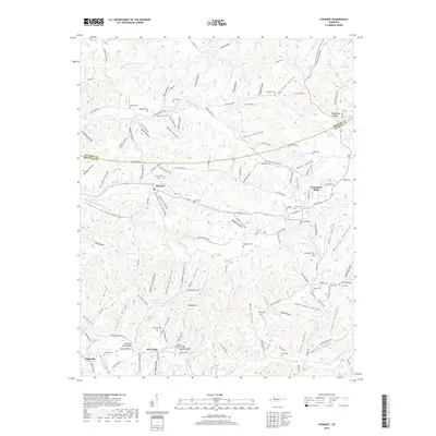
2019 Map of Stewart
USGS Topo · Published 2019About this map
Stewart sits at the heart of this landscape, marking a central point in the dissected plateau of northern Middle Tennessee. The area is defined by an intricate network of narrow valleys and ridges, where small settlements like Tennessee Ridge and New Hope developed along the higher ground and creek flats. The transport history of the region is evident in the transition from old river-dependent crossings like Crosswell Ford Bridge and Cooley Ford Bridge to the established road networks of Old Stewart Rd and Guy Markins Rd.
Find a feature on this map
135 named features on this map. Tap any name to fly to it.
Don’t see what you’re looking for? This feature index may not catch every label — zoom into the map to look around manually.
Map Details
Editions of this 2019 Stewart Map
This is the sole edition of this map. No revisions or reprints were ever made.
Other maps of this area

1931 · Erin
USGS Topo · 1:62,500

1936 · Tantrough Hollow
USGS Topo · 1:24,000

1936 · McKinnon
USGS Topo · 1:24,000

1936 · Woolworth
USGS Topo · 1:24,000

1936 · Stewart
USGS Topo · 1:24,000

1936 · Halls Creek
USGS Topo · 1:24,000

1936 · Harmon Creek
USGS Topo · 1:24,000

1936 · Standing Rock
USGS Topo · 1:24,000

1936 · Dover
USGS Topo · 1:24,000

1949 · Harmon Creek
USGS Topo · 1:24,000