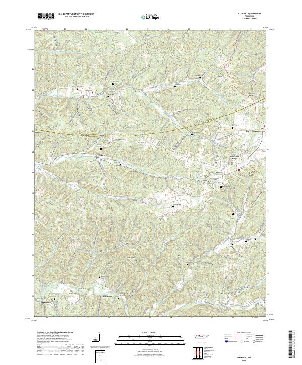
2022 Map of Stewart
USGS Topo · Published 2022About this map
Stewart and Tennessee Ridge anchor this detailed study of the Tennessee countryside along the boundary of Stewart and Houston counties. The landscape is defined by an intricate network of hollows, such as French Hollow, Burcham Hollow, and Sugarcamp Hollow, which dictate the placement of early settlements and family cemeteries. These burial grounds, including Weaks Cem, Alsup Cem, and the Gray - Barnes Cem, are often located on the ridges or at the head of hollows, providing essential data for genealogists tracing regional family lineages.
Find a feature on this map
139 named features on this map. Tap any name to fly to it.
Don’t see what you’re looking for? This feature index may not catch every label — zoom into the map to look around manually.
Map Details
Editions of this 2022 Stewart Map
This is the sole edition of this map. No revisions or reprints were ever made.
Other maps of this area

1931 · Erin
USGS Topo · 1:62,500

1936 · Tantrough Hollow
USGS Topo · 1:24,000

1936 · McKinnon
USGS Topo · 1:24,000

1936 · Woolworth
USGS Topo · 1:24,000

1936 · Stewart
USGS Topo · 1:24,000

1936 · Halls Creek
USGS Topo · 1:24,000

1936 · Harmon Creek
USGS Topo · 1:24,000

1936 · Standing Rock
USGS Topo · 1:24,000

1936 · Dover
USGS Topo · 1:24,000

1949 · Harmon Creek
USGS Topo · 1:24,000