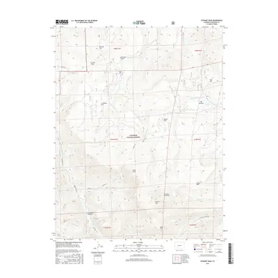
2016 Map of Stewart Peak
USGS Topo · Published 2016About this map
Gunnison National Forest encompasses much of this high-altitude landscape in Saguache County, defined by the towering summits of the La Garita Mountains. The 2016 survey details a complex network of drainage basins and peaks, including the 13,000-foot heights of Stewart Peak and Baldy Alto. For genealogists and historians of the Colorado high country, the map illustrates the historical movement through these mountains via the Cebolla Trail and the Bonholder Trail, which cross the high meadows and passes. Water management is evidenced by the Cochetopa Meadows Ditch, while numerous creeks like Los Pinos Cr and Pauline Cr carve through the terrain. From the open expanse of Horsefly Park to the secluded Bondholder Meadows, the map captures the transition between the alpine tundra and the lower, water-rich parks and mesas.
Find a feature on this map
39 named features on this map. Tap any name to fly to it.
Don’t see what you’re looking for? This feature index may not catch every label — zoom into the map to look around manually.
Map Details
Editions of this 2016 Stewart Peak Map
This is the sole edition of this map. No revisions or reprints were ever made.
Other maps of this area

1905 · San Cristobal
USGS Topo · 1:125,000

1907 · San Cristobal
USGS Topo · 1:125,000

1908 · Uncompahgre
USGS Topo · 1:125,000

1911 · Uncompahgre
USGS Topo · 1:125,000

1914 · Creede
USGS Topo · 1:125,000

1916 · Creede
USGS Topo · 1:125,000

1945 · Durango
USGS Topo · 1:250,000

1953 · Durango
USGS Topo · 1:250,000

1954 · Durango
USGS Topo · 1:250,000

1956 · Montrose
USGS Topo · 1:250,000