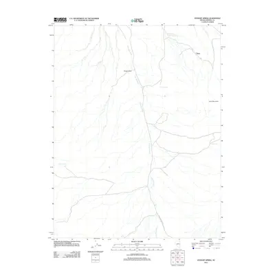
2012 Map of Stewart Spring
USGS Topo · Published 2012About this map
Stewart Valley and the western foothills of the Cedar Mountains define this high-desert landscape in Mineral County. The settlement of Omco sits near the head of Omco Wash, a name rooted in the region's early 20th-century mining history. Water sources are critical landmarks in this arid terrain, with Stewart Spring, Wildrose Spring, and Poleline Spring distributed across the valley floor and mountain slopes. Drainage patterns are dominated by the extensive Finger Rock Wash, which is traced by the rugged Finger Rock Wash RD. This survey provides a precise view of the geographic isolation and natural water points that dictated movement and small-scale settlement in this corner of the Nevada desert.
Find a feature on this map
11 named features on this map. Tap any name to fly to it.
Don’t see what you’re looking for? This feature index may not catch every label — zoom into the map to look around manually.
Map Details
Editions of this 2012 Stewart Spring Map
This is the sole edition of this map. No revisions or reprints were ever made.
Other maps of this area
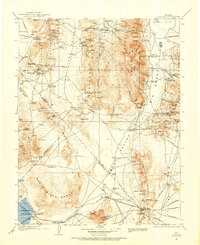
1907 · Tonopah
USGS Topo · 1:250,000
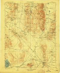
1908 · Tonopah
USGS Topo · 1:250,000
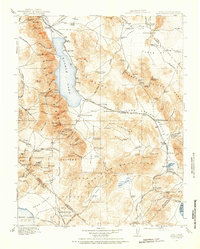
1909 · Hawthorne
USGS Topo · 1:250,000
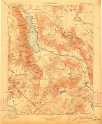
1911 · Hawthorne
USGS Topo · 1:250,000
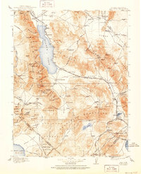
1915 · Hawthorne
USGS Topo · 1:250,000
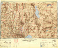
1948 · Walker Lake
USGS Topo · 1:250,000
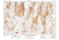
1956 · Tonopah
USGS Topo · 1:250,000
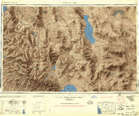
1957 · Walker Lake
USGS Topo · 1:250,000
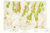
1959 · Tonopah
USGS Topo · 1:250,000
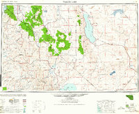
1962 · Walker Lake
USGS Topo · 1:250,000