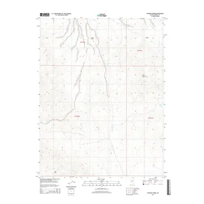
2014 Map of Stewart Spring
USGS Topo · Published 2014About this map
Stewart Valley and the western slopes of the Cedar Mountains define this high-desert region of Mineral County. The settlement at Omco serves as the primary landmark in a landscape shaped by intermittent drainage systems, most notably Omco Wash and the extensive Finger Rock Wash. The placement of Stewart Spring, Willrose Spring, Poleline Spring, and Mud Spring reveals the critical reliance on isolated water sources across this arid basin. Elevations vary significantly from the valley floor up to the prominent Table Mtn in the south, providing a clear view of the complex topography and the Public Land Survey System divisions between t9n r36e and t9n r37e. This 2014 survey documents the enduring spatial layout of remote mining and ranching interests in the Nevada desert.
Find a feature on this map
14 named features on this map. Tap any name to fly to it.
Don’t see what you’re looking for? This feature index may not catch every label — zoom into the map to look around manually.
Map Details
Editions of this 2014 Stewart Spring Map
This is the sole edition of this map. No revisions or reprints were ever made.
Other maps of this area

1907 · Tonopah
USGS Topo · 1:250,000

1908 · Tonopah
USGS Topo · 1:250,000

1909 · Hawthorne
USGS Topo · 1:250,000

1911 · Hawthorne
USGS Topo · 1:250,000

1915 · Hawthorne
USGS Topo · 1:250,000

1948 · Walker Lake
USGS Topo · 1:250,000

1956 · Tonopah
USGS Topo · 1:250,000

1957 · Walker Lake
USGS Topo · 1:250,000

1959 · Tonopah
USGS Topo · 1:250,000

1962 · Walker Lake
USGS Topo · 1:250,000