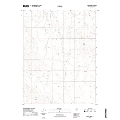
2018 Map of Stewart Spring
USGS Topo · Published 2018About this map
Stewart Valley and the western slopes of the Cedar Mountains define this high-desert landscape in Mineral County. Life in this arid environment revolves around the scarce water sources that dot the terrain, including Stewart Spring, Wildrose Spring, and Poldine Spring. To the south, the flat-topped profile of Table Mtn rises above the alluvial fans. The drainage patterns are clearly etched into the valley floor, with the prominent Finger Rock Wash and Omco Wash carrying seasonal runoff through the basins. This map illustrates the intersection of Township and Range lines such as t9n r36e and t8n r37e, reflecting the systematic surveying of the Nevada interior. The absence of permanent settlements emphasizes the character of the region as a land of transient resources and isolated landmarks used by ranchers and explorers.
Find a feature on this map
14 named features on this map. Tap any name to fly to it.
Don’t see what you’re looking for? This feature index may not catch every label — zoom into the map to look around manually.
Map Details
Editions of this 2018 Stewart Spring Map
This is the sole edition of this map. No revisions or reprints were ever made.
Other maps of this area

1907 · Tonopah
USGS Topo · 1:250,000

1908 · Tonopah
USGS Topo · 1:250,000

1909 · Hawthorne
USGS Topo · 1:250,000

1911 · Hawthorne
USGS Topo · 1:250,000

1915 · Hawthorne
USGS Topo · 1:250,000

1948 · Walker Lake
USGS Topo · 1:250,000

1956 · Tonopah
USGS Topo · 1:250,000

1957 · Walker Lake
USGS Topo · 1:250,000

1959 · Tonopah
USGS Topo · 1:250,000

1962 · Walker Lake
USGS Topo · 1:250,000